- 0
- 593 words
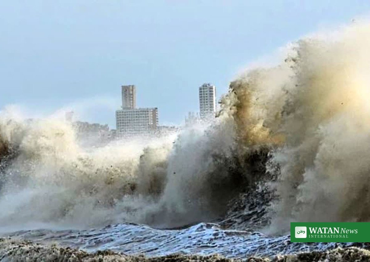
Cyclone Arnab landfall began on India’s eastern coast early on Wednesday, 28 October, as Very Severe Cyclonic Storm Arnab crossed the Andhra Pradesh and Yanam coasts with sustained winds of 125 to 135 kilometres per hour and gusts reaching 150 kilometres per hour, the India Meteorological Department (IMD) said.
The storm’s landfall process was under way off the Andhra coast in the early hours of Wednesday, with the cyclone’s centre close to Narsapur and Yanam. The IMD said the system would move slowly north-westwards at first before tracking north-north-westwards, and that the landfall process would continue for several hours.
FAKTA
- Storm: Very Severe Cyclonic Storm Arnab, over the Bay of Bengal
- Cyclone Arnab landfall: Early Wednesday, 28 October, between Bapatla and Visakhapatnam, close to the south of Yanam
- Sustained winds: 125 to 135 kilometres per hour, gusting to 150 kilometres per hour
- Landfall process: Continuing for several hours, according to the IMD’s hourly bulletin
- Storm surge: 1.5 to 2.5 metres above astronomical tide expected in low-lying Andhra Pradesh coastal areas
- Extreme rainfall: More than 200 millimetres recorded in parts of Anakapalli and Visakhapatnam districts between 08:30 on 27 October and 03:00 on 28 October
- States affected: Andhra Pradesh, Yanam, Odisha and West Bengal
Cyclone Arnab landfall: what the weather office says
At 11.30 p.m. on Tuesday, the cyclone was centred over the west-central Bay of Bengal, close to the Andhra Pradesh coast, about 50 kilometres east-south-east of Narsapur, 70 kilometres south of Kakinada and 200 kilometres south-south-west of Visakhapatnam, the IMD said. The department said the storm was already interacting with the land surface, with its northern spiral band extending further inland.
Andhra Pradesh State Disaster Management Authority managing director Prakhar Jain said the cyclone’s centre was about 30 kilometres from Narsapur, 55 kilometres from Yanam, 70 kilometres from Kakinada and 90 kilometres from Machilipatnam as the landfall process continued. He warned that Kakinada, Konaseema and West Godavari districts could see gusty winds of 125 to 135 kilometres per hour over the next three hours, with heavy rainfall forecast across several districts.
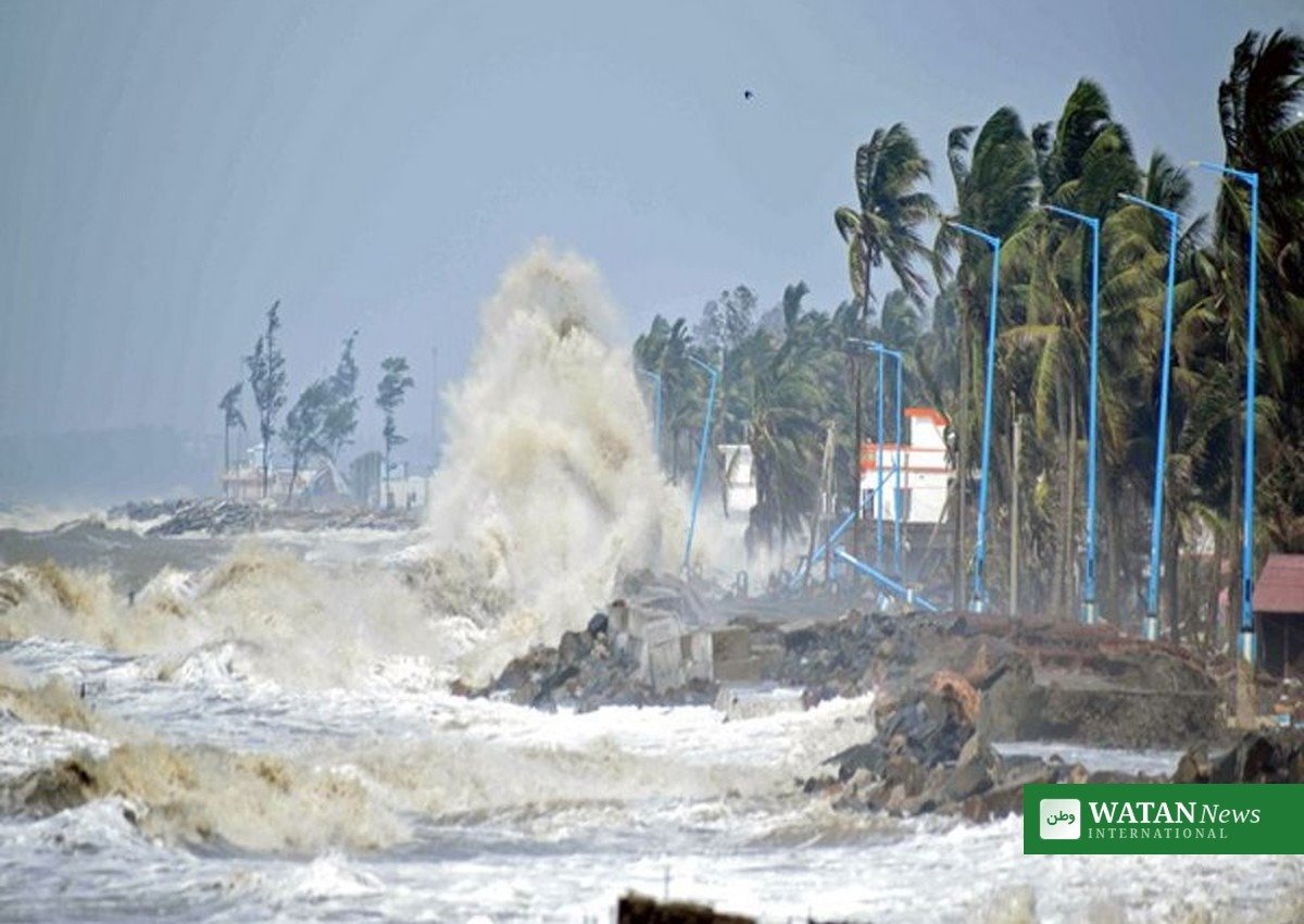
Cyclone waves batter India’s eastern shoreline as Cyclone Arnab makes landfall. Trees were uprooted and power lines snapped in Kakinada as the storm came ashore.
Damage and disruption as the storm comes ashore
As the landfall process continued, multiple trees were uprooted and power lines snapped across several locations in Andhra Pradesh’s Kakinada district, while heavy rain and gusty winds uprooted trees and blocked roads in Visakhapatnam, including Beach Road and Seethammadhara, according to the reports. Heavy rain and gusty winds also lashed parts of West Bengal as an impact of the cyclone, and warnings were issued across districts of Odisha.
The weather office issued a major inundation alert, warning that a storm surge of 1.5 to 2.5 metres above astronomical tide was very likely to submerge low-lying areas of Andhra Pradesh over the next four to five hours, with the maximum peak surge expected near Kakinada and Yanam.
Rainfall warnings and what happens next
Extremely heavy rainfall of more than 200 millimetres was recorded across several locations in Anakapalli and Visakhapatnam districts between 08:30 on 27 October and 03:00 on 28 October, the IMD said. Heavy rainfall was forecast to continue across several districts of Andhra Pradesh, with the storm expected to weaken gradually after moving inland.
Authorities have urged residents in coastal areas to follow official advisories, avoid unnecessary travel in flooded areas and stay away from rough seas while the storm passes. The cyclone had already prompted mass evacuation preparations along India’s eastern coast earlier in the week, with Andhra Pradesh identifying 570,000 people as vulnerable and Odisha closing schools and colleges in five districts.
More on Asia: Watan News Asia coverage.
Author

usmanch0013@gmail.com
Related Posts

Bellevue Opens $50,000 Youth Climate Action Fund as Application Workshop Meets Today
- 0
- 646 words
Bellevue's Youth Climate Action Fund offers $50,000 in grants, with microgrants of $1,000 to $5,000 for youth-led projects; residents aged 15 to...
Read out all
Three in Four Travellers Now Weigh Sustainability as Trip.com Launches My Travel Impact
- 0
- 795 words
Trip.com Group's 2026 Sustainable Travel Consumer Report finds 75.4% of travellers say sustainability matters and 56.8% intentionally choose greener options, as the...
Read out all
ENGIE Backs New Woodlands Across the UK With 200,000 Carbon Units
- 0
- 806 words
ENGIE will support more than 20 woodland owners in Scotland, Wales and England to create new woodland, backed by more than 200,000...
Read out all
Dubai turns two million plastic bottles into school bags
- 0
- 974 words
Dubai Municipality has recycled two million plastic bottles, about 40 tonnes of plastic, into school bags under its Bottle2Bag initiative, showcased at...
Read out all
Global South cities carry Delhi Declaration to COP31 in Antalya
- 0
- 1,168 word
Cities from the Global South will hand the Delhi Declaration on local climate action to COP31 Climate Champion Samed Ağırbaş, urging COP31...
Read out all
Trump Says Brazil Election Looked “Rigged” as Bolsonaro’s Party Accepts Lula Win
- 0
- 653 words
US President Donald Trump said Brazil’s presidential runoff “looked like another rigged election”, a day after Luiz Inácio Lula da Silva’s victory...
Read out all