- 0
- 886 words
Panama earthquake relief efforts are now in full motion as the government mobilizes personnel and supplies to the Azuero Peninsula, where a magnitude 7.7 earthquake struck on October 9, 2026, toppling buildings and roads, while aftershocks — including a magnitude 6.6 tremor — keep rattling the region.
FAKTA
- Main quake: magnitude 7.7, October 9, 2026, at 17:56 GMT (12:56 p.m. local time), epicenter about 12 km from Pitaloza Arriba in the Azuero Peninsula, Herrera province.
- Aftershocks: dozens recorded, the strongest at magnitude 6.6, with shaking felt from Panama City to the Pacific coast.
- Damage: buildings and roads collapsed in the Herrera, Cocle and Los Santos regions; power was cut in six provinces and flights at Tocumen airport were suspended.
- Tsunami: a threat warning was issued for Pacific coastlines of Central and South America, then lifted; no major waves were reported.
- Casualties: no confirmed deaths and no seriously injured patients, according to Panama’s civil protection agency SINAPROC and the health system CSS; only minor injuries were treated.
A Nation in Emergency Response
President José Raúl Mulino said the entire government is mobilizing to answer the disaster. “I’ve given instructions to mobilize personnel, resources and help to those affected,” he said in an official statement, adding that he would personally join the coordination in the hardest-hit areas.
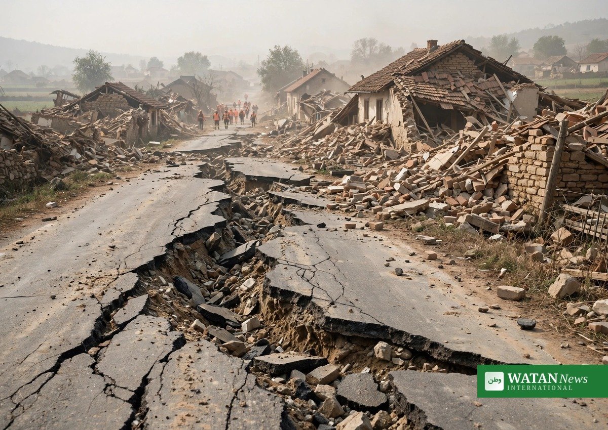
Authorities confirmed that some roads had “completely collapsed” and that damage assessments are continuing across central Panama. The United States has offered help, with the State Department saying it is rapidly mobilizing resources at Panama’s request.
Aftershocks Keep Communities on Edge
Seismologists at the University of Panama recorded more than 45 aftershocks in the first day, with several measuring magnitudes above 5. The strongest, a magnitude 6.6 quake, struck near Río Grande about three hours after the main shock, according to the United States Geological Survey.
Residents describe lasting fear. “We felt it very strongly. It knocked things over in the kitchen, but we’re okay, though we’re very scared,” one resident of Herrera province told reporters. In Panama City, some 200 kilometers from the epicenter, skyscrapers shook and people evacuated into the streets — a widely shared video even showed water falling from a rooftop pool of a high-rise.
Panama Earthquake Relief and the Scale of Damage
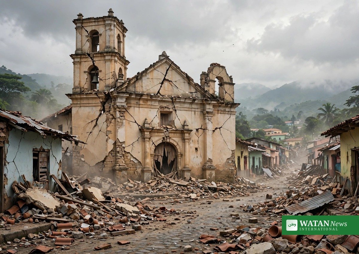
Officials say the Herrera, Cocle and Los Santos regions suffered the most significant damage, with homes, roads and at least one historic church building destroyed. Power provider Naturgy reported outages across six provinces, while Tocumen International Airport, a major regional hub, suspended flights as a precaution.
The United States Geological Survey estimated that economic losses could reach between 1 and 10 percent of Panama’s gross domestic product. Major earthquakes are rare in Panama, which made the scale of the 7.7 tremor — briefly reported as magnitude 8.0 before the USGS revised it — especially shocking for the country of about 4.5 million people.

Canal Still Operating, Tsunami Warning Lifted
There was early relief for the global economy: the Panama Canal, about 126 miles from the epicenter, was operating normally despite visible shaking on a bridge over the waterway. A tsunami warning that had covered coastlines from Mexico to Peru was lifted after no destructive waves materialized, though warning centers continue to monitor the area.
Rescue and relief teams remain on standby as aftershocks continue, and the government has promised further updates as damage assessments reach remote communities in the affected provinces.
In the end, the response to the quake will be measured not only by rescue work in the first days but by the rebuilding of homes, schools and roads across the Azuero Peninsula in the months ahead.
Related Articles
Magnitude 7.7 Earthquake Strikes Southern Panama, Buildings Collapse
Frequently Asked Questions
How strong was the Panama earthquake?
The quake measured magnitude 7.7, according to the United States Geological Survey, which revised an initial estimate of 8.0. It struck at a shallow depth of about 12 kilometers, which made its impact more severe near the epicenter.
When and where did the earthquake hit?
The earthquake struck at 17:56 GMT on Friday, October 9, 2026 (12:56 p.m. local time), with its epicenter about 12 kilometers from the town of Pitaloza Arriba in the Azuero Peninsula of Herrera province, southern Panama.
Are there aftershocks?
Yes. Seismologists recorded dozens of aftershocks, including a magnitude 6.6 tremor near Río Grande a few hours after the main shock, and shaking was still being felt in the region days later.
Were there any deaths?
No confirmed deaths have been reported. Panama’s civil protection agency SINAPROC and the social-security health system reported no seriously injured patients; people with minor injuries were treated.
What is the government doing?
President José Raúl Mulino ordered the full mobilization of the government — personnel, resources and aid — for the affected areas, and said he would personally take part in coordination efforts in the worst-hit regions.
Is the Panama Canal operating?
Yes. The Panama Canal was operating normally, about 126 miles from the epicenter, though a bridge over the canal was seen shaking violently during the quake.
Was there a tsunami threat?
A tsunami threat notice was issued for Panama and parts of Central and South America’s Pacific coasts, with waves of up to three meters considered possible. The warning was later lifted after no significant waves were observed.
How rare are earthquakes in Panama?
Major earthquakes are rare in Panama. When they do occur, they usually strike in the western Chiriqui province, not the central Azuero Peninsula where this quake hit.
Author

usman2344913@gmail.com
Related Posts

Vatican Confirms Pope Leo XIV Has Lung Cancer After Successful Surgery
- 0
- 459 words
The Vatican confirmed on Tuesday evening that Pope Leo XIV has lung cancer, announcing that surgeons removed the lower lobe of his...
Read out all
Sharlene Mawdsley at 28: The 400m Comeback She Never Imagined
- 0
- 1,036 word
The 2026 season gave Sharlene Mawdsley everything athletics can hand out — four personal bests in one summer, a Diamond League debut,...
Read out all
Duane “Keffe D” Davis Sentenced to 40 Years to Life for 1996 Murder of Tupac Shakur
- 0
- 493 words
Duane “Keffe D” Davis was sentenced to 40 years to life in prison on Tuesday for orchestrating the 1996 murder of rap...
Read out all
Atlanta’s First Climate Week Closes With Roadshow for City’s First Resilience Plan
- 0
- 514 words
Atlanta's first Climate Week (10–15 October) closes on Thursday with the 2026 Climate Resilient ATL Roadshow — the public launch of the...
Read out all
Zimbabwean Founders Raise $2M Pre-Seed for Voice AI Data Startup Ocular AI
- 0
- 864 words
Two Zimbabwean founders have raised $2 million in pre-seed funding for Ocular AI, their San Francisco startup building the training data behind...
Read out all
Dubai Property Q3 2026: 37,429 Sales Worth AED92.9 Billion as Rents Near Record
- 0
- 967 words
Dubai's property market recorded 37,429 sales transactions worth AED92.9 billion in the third quarter of 2026, with off-plan sales from developers continuing...
Read out all